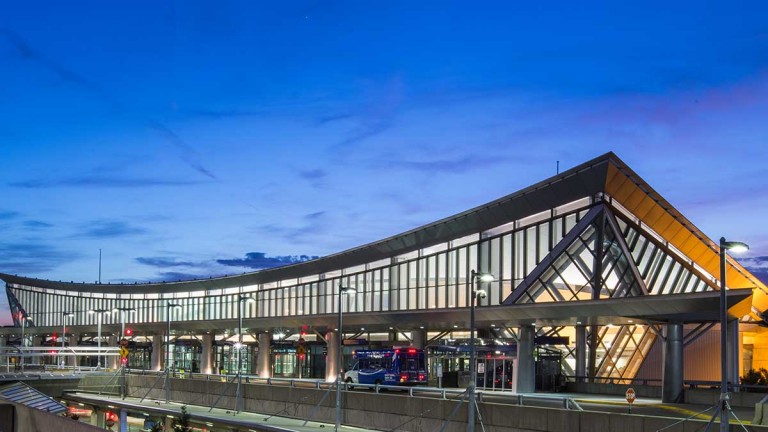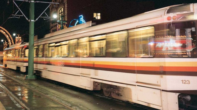

Gallery Above
Clockwise from left
Buffalo Niagara
International Airport
Metro Rail
If You Go
Information & Maps
How do you get to the Darwin Martin House? These downloadable maps will help.
Where’s the best place to park near Coca-Cola Field? You’ll find parking aplenty here.
Why is Buffalo known as the Queen City? The name came about in the 1840s. Buffalo was the state’s second largest city. So if NYC is “king”, then Buffalo is “queen”.
From things to do to places to stay, shop and eat, Buffalo’s two Visitor Centers don’t just have the answers, they also have the helpful Buffalonians you need to craft your vacation. And while you’ll only find our interactive regional map online, the Visitor Centers are stocked with brochures, public transportation information, events schedules and Buffalo’s best selection of souvenirs and merchandise. Plus you’ll also get answers to all those burning questions, like “where can I find the best deals in town?” and “what the heck is Dyngus Day?”
At the Airport
The Airport Visitor Center is located in the secure area of the airport, across from the Anchor Bar (Buffalo wings were invented in the Anchor Bar’s downtown location.) It’s open 6am-6pm, 7 days a week.
Downtown
The Buffalo Niagara Visitor Center is located on the first floor of the historic Brisbane Building at Clinton and Washington Streets and is open from 9 a.m. to 5 p.m. Monday through Friday. Come as a visitor; leave as Buffalo’s newest friend!
Transportation
Getting to Buffalo—and getting around Buffalo—is easy. But you might find it hard to ever want to leave!
Getting Here
By car: The New York State Thruway (I-90) runs directly through the Buffalo metro area. From Canada, take the Queen Elizabeth Way (QEW).
By rail: Travel Amtrak direct from Chicago, Toronto, Albany and New York City. There are three stations in the Buffalo Niagara region, including the Exchange Street station (BFX) downtown.
By air: The Buffalo Niagara International Airport is located just fifteen minutes east of downtown Buffalo. Major carriers are US Airways, Continental, American, Northwest, United, jetBlue, Southwest and Delta.
Getting Around
Getting around Buffalo and its suburbs is easy and convenient using the Niagara Frontier Transportation Authority (NFTA) Metro Bus and Rail system. The Metro Rail runs along Main Street from the First Niagara Center to the South Campus of the University at Buffalo, with several stops in between. The train is free while traveling above ground. However, if your ride takes you past the Theatre District, down into the subway, there is a small charge. Be sure to purchase your ticket before entering the underground portion.
Bus stops are found on almost every street corner downtown, as well as at many other spots throughout the region. Bus schedules are available at all transportation centers, the Buffalo Niagara Convention Center, the Downtown Visitor Center and many local banks
If you prefer to drive, these maps will help. And you’ll find plenty of parking throughout the city to house your car while you’re exploring.